Lanes are the unit, not tiles
Every road has its own cross-section: 10 lane types, per-lane width, direction and height, 11 marking styles. Junctions, curbs and markings follow from it and rebuild live while you drag.
Roads and cross-sectionsRoads built from per-lane cross-sections, with junctions, roundabouts, signs, terrain and water generated around them. Exports schema-valid OpenDRIVE 1.6 and OpenSCENARIO 1.2 for driving simulators, and glTF 2.0, OBJ and heightmaps for 3D engines.
Native C++ / OpenGL for macOS and Windows. Works offline.
Every lane, junction and sign sits exactly where you drew it. Three things set it apart.
Every road has its own cross-section: 10 lane types, per-lane width, direction and height, 11 marking styles. Junctions, curbs and markings follow from it and rebuild live while you drag.
Roads and cross-sectionsOpenDRIVE 1.6 validated against the ASAM schema, with lane-level junctions. OpenSCENARIO 1.2 scenarios that run in esmini.
The OpenDRIVE exportImport any OpenStreetMap area with lanes, one-way streets, roundabouts, signals and speed limits, then edit it like a map you drew.
OpenStreetMap to OpenDRIVEPick lane types, set widths, directions and heights, and choose the line on each side. Raised lanes get curbs. Road-level lanes flow into the junction surface.
Each exported file is validated against the official ASAM schemas and read back by an independent parser.
Test maps in OpenDRIVE without hand-edited XML. Lane-level junctions, roundabouts, elevation, signals and georeference, plus a ready-to-run OpenSCENARIO.
For simulationCustom cross-sections, smooth junctions, terrain and water in one standalone tool. Export glTF, OBJ and heightmaps and import them into any engine.
For games and 3DC++ and OpenGL. Edits rebuild while you drag.
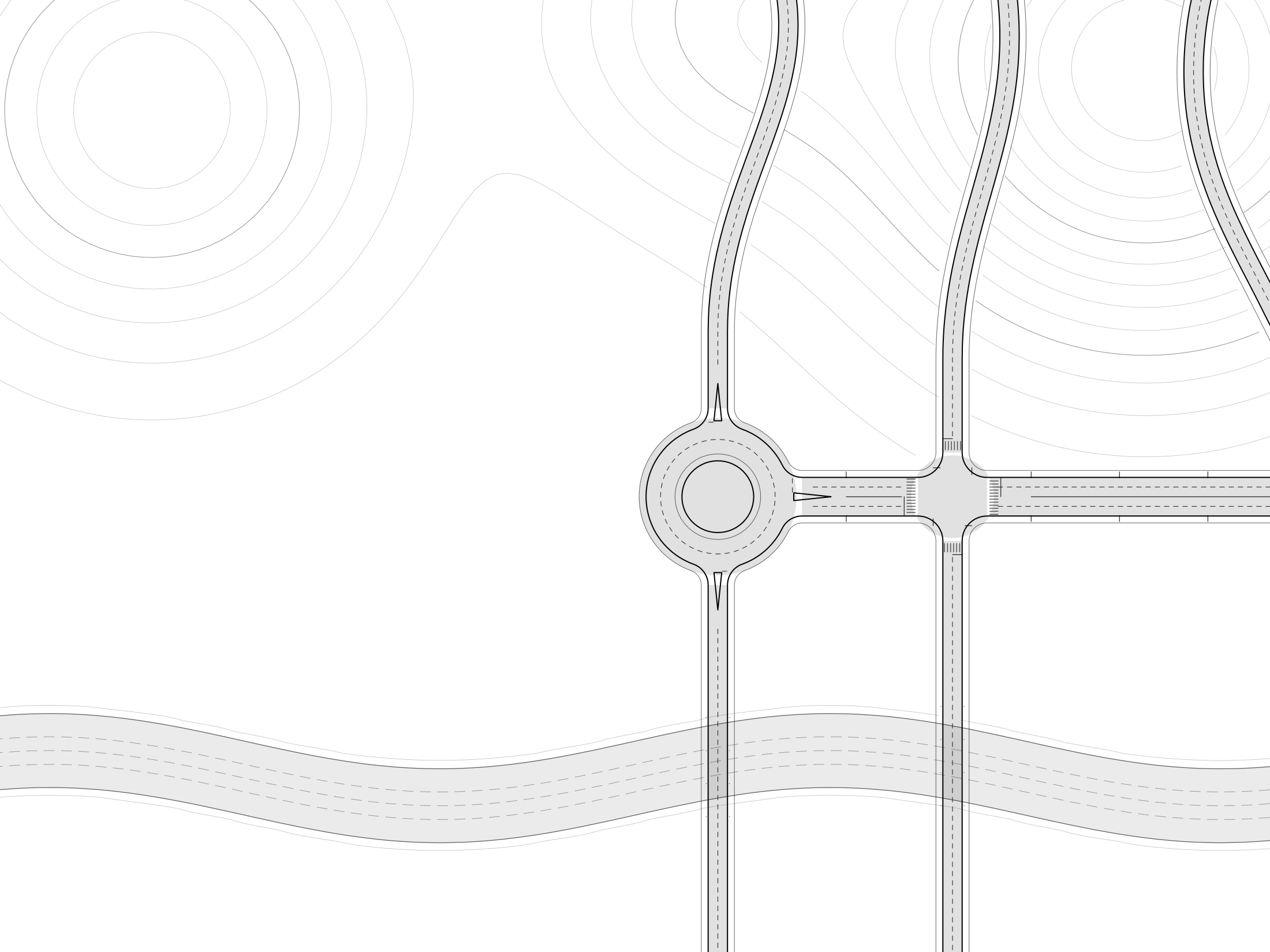
A 3D view and a 2D blueprint view with contour lines and a height cut.
No account, no telemetry, no network access.
Maps are plain JSON. Exports are yours to ship.
OpenDRIVE 1.6, validated against the ASAM schema.
Yes. The road assets are CC0 and the exports are yours. Maps imported from OpenStreetMap must credit OpenStreetMap contributors (ODbL).
Yes, completely. No account, no telemetry.
Yes; roads come back with their lanes and signs, and junctions are rebuilt.
macOS 12 or later (Apple Silicon and Intel) and Windows 10/11 (x64).
Plain JSON.
Join the waiting list to hear when downloads open. Working on a simulation team? Ask about team licences.